On the move on the Via Alpina
Adelboden-Lenk-Kandersteg tourism region
When the hiking trail is your place of work
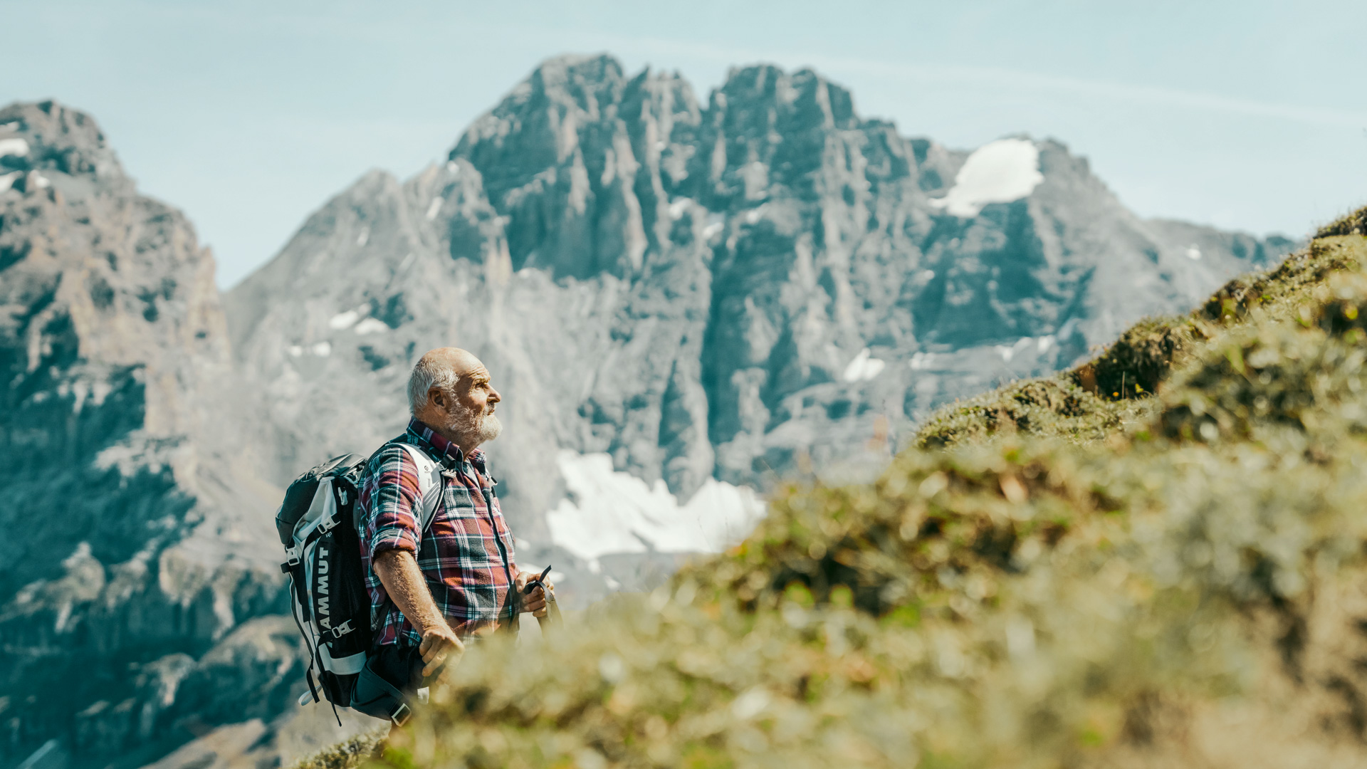
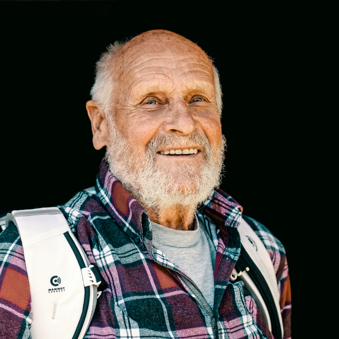
Bernhard Mani, hiking trailmaker
The job of the hiking trailmaker
Who is responsible for maintaining the hiking trails?
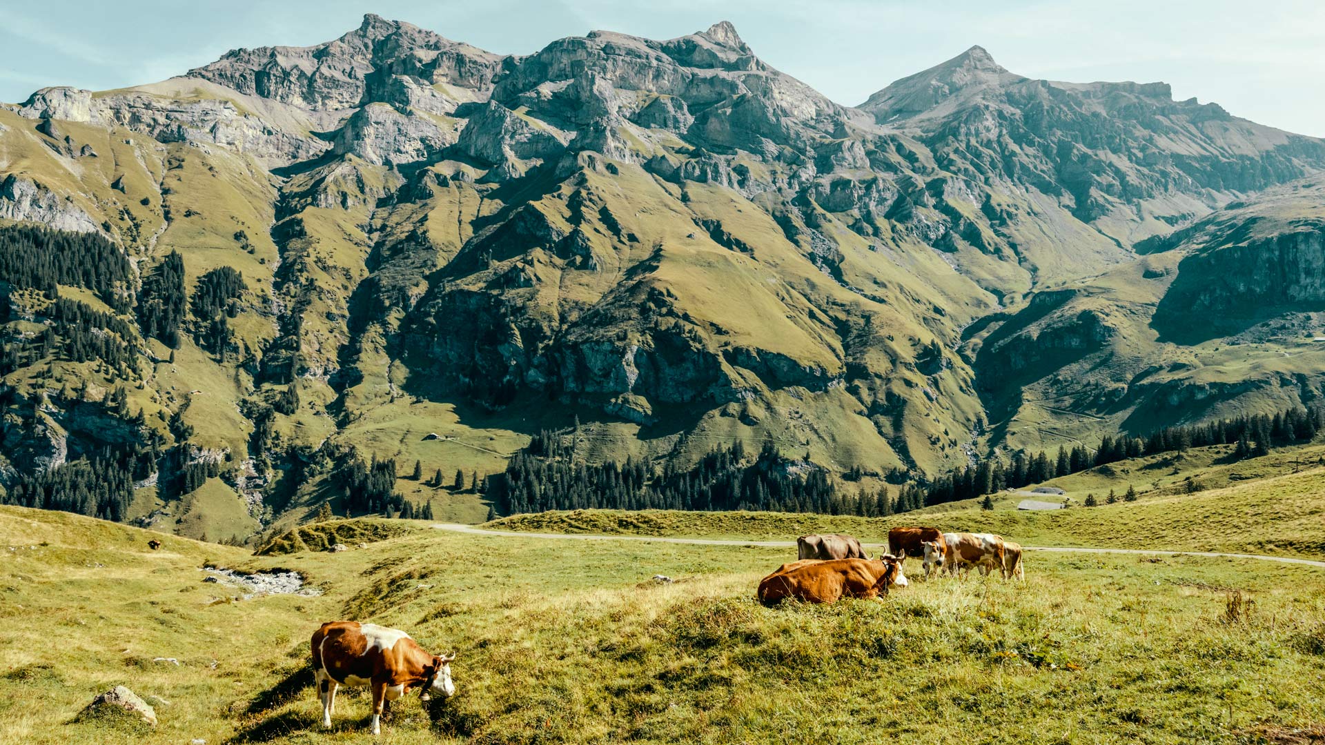
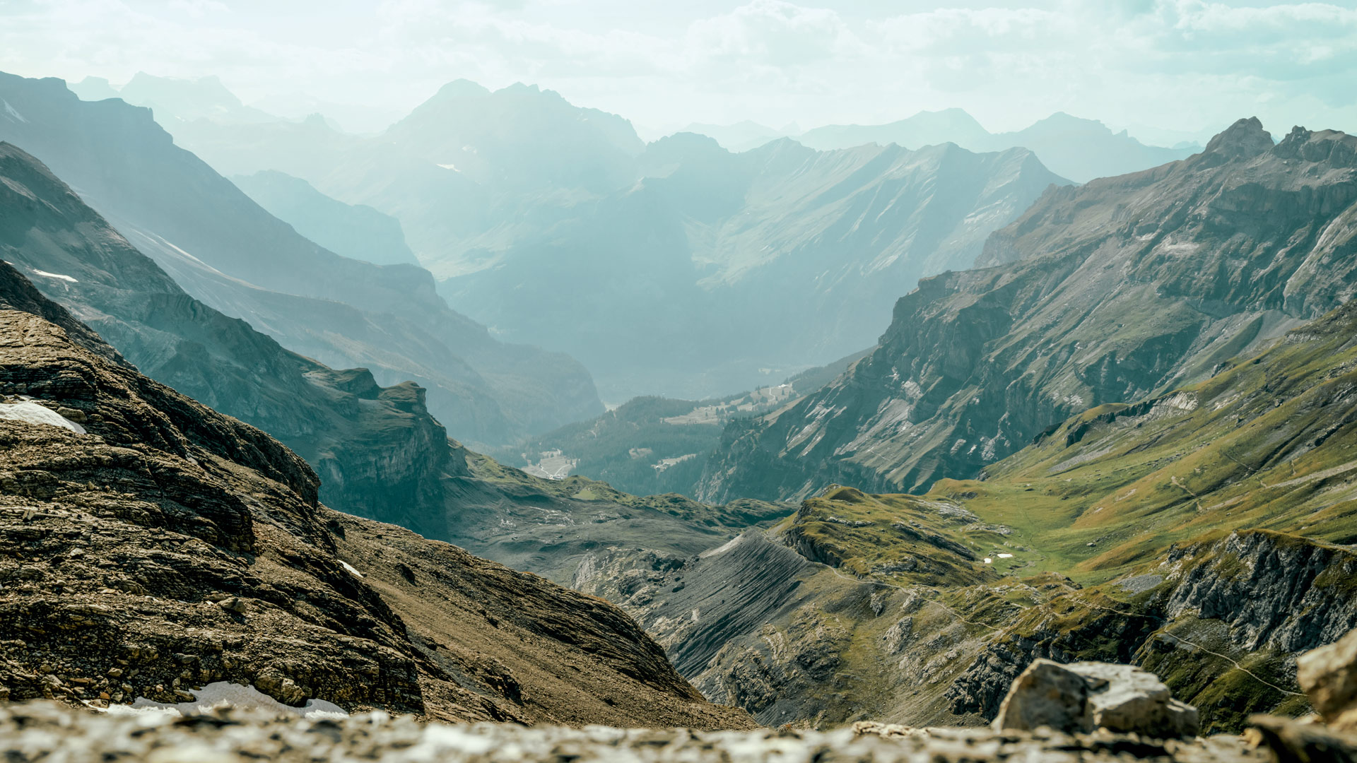
The Queen’s stage: Griesalp – Kandersteg
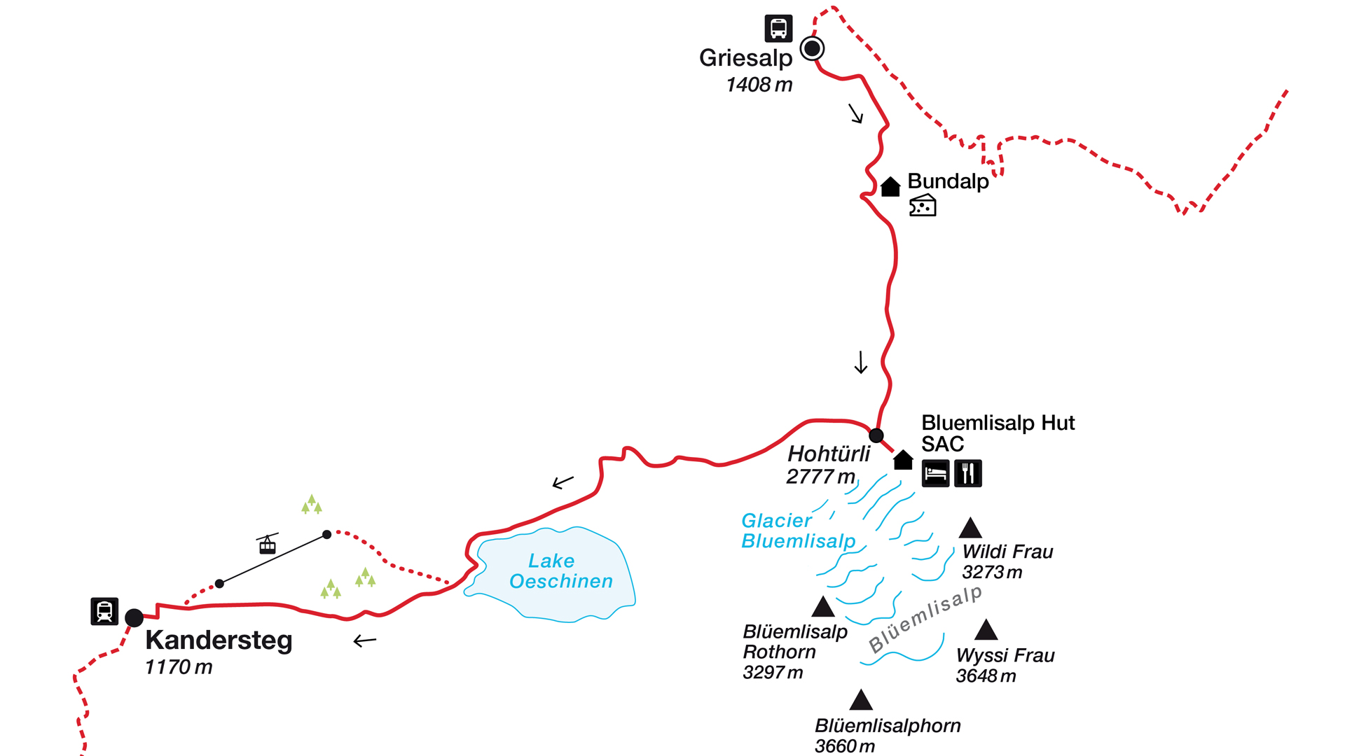
A pleasant climb to the Bundalp
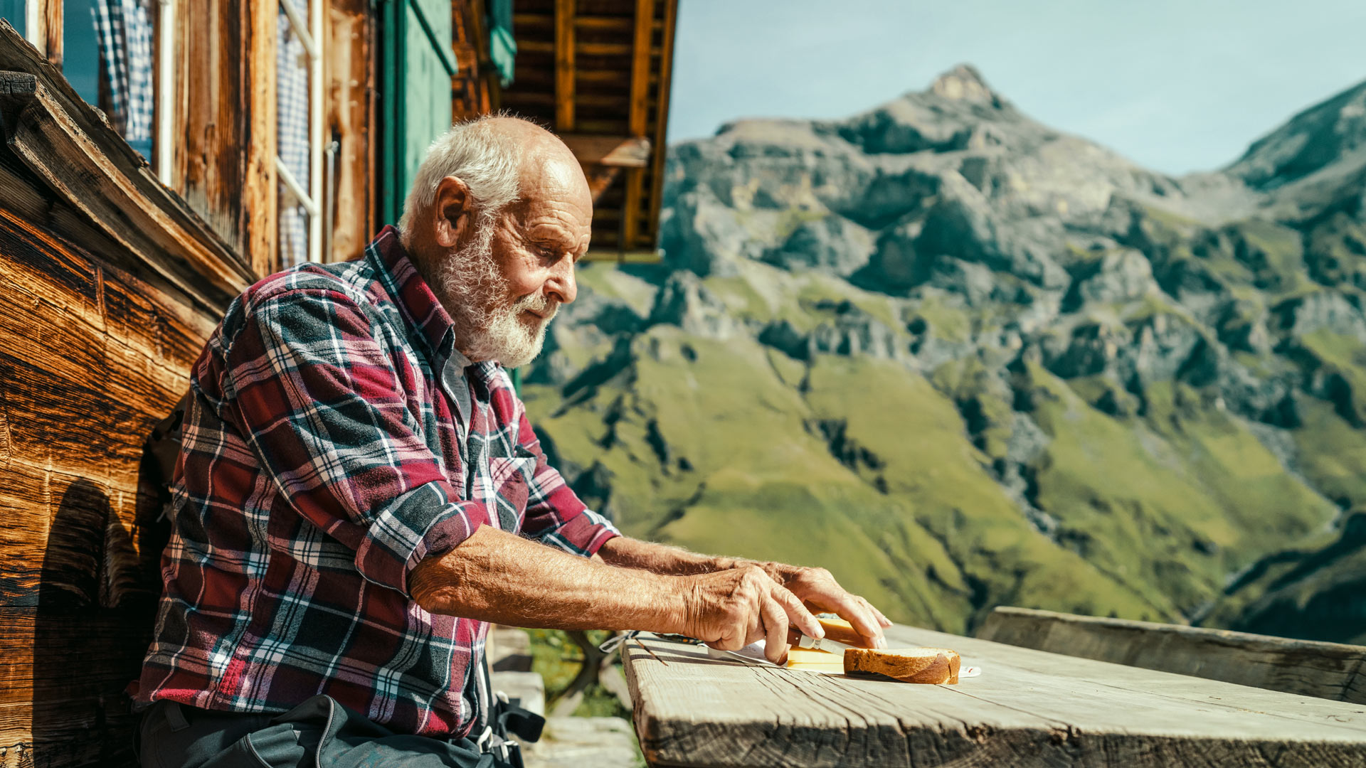
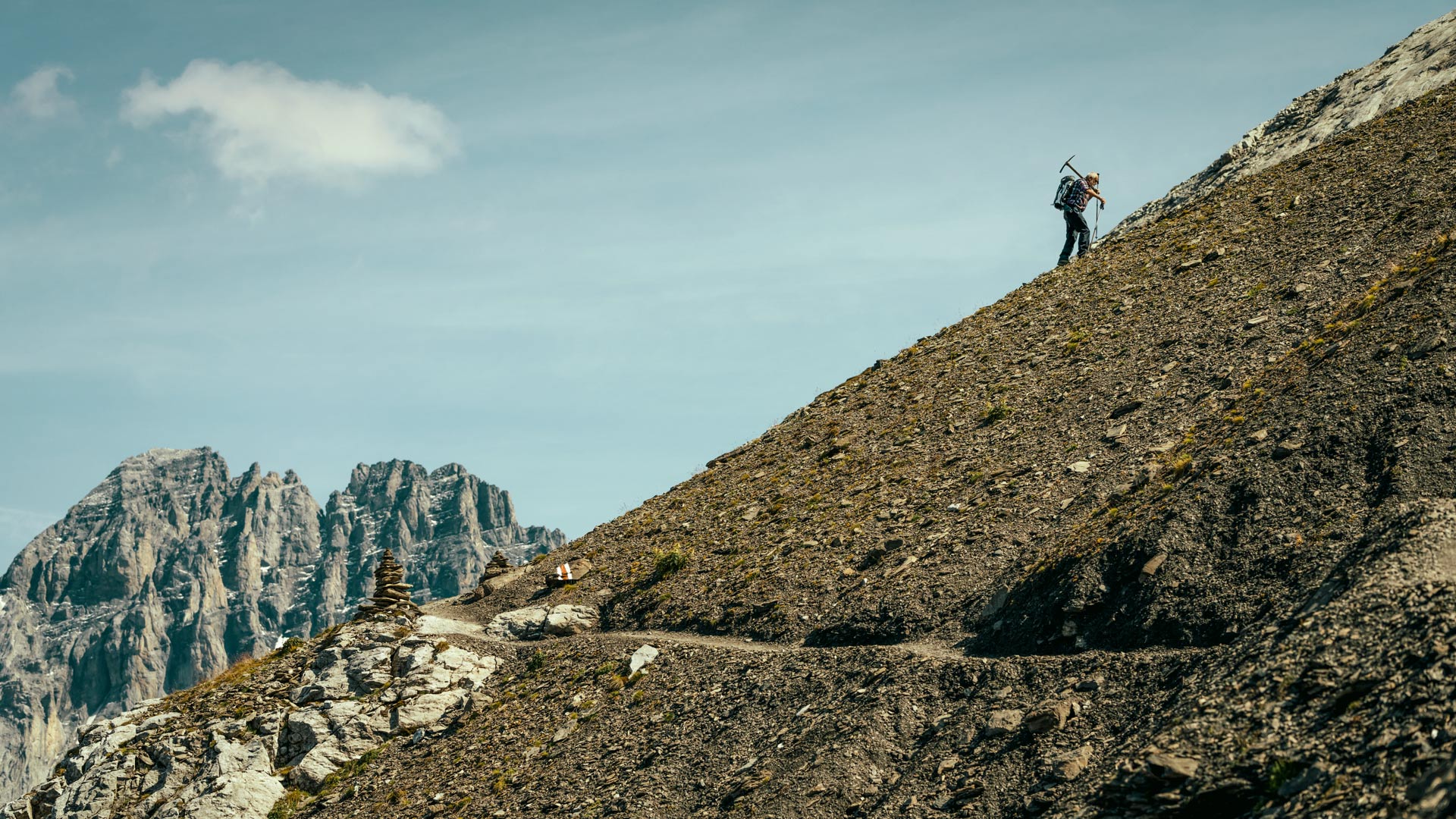
A workplace with a panoramic view
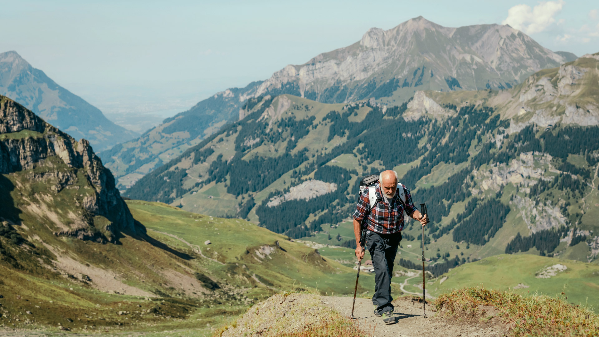


Step-by-step towards his goal


Arrival at the highest point on the Via Alpina
The Hohtürli, at 2,778 metres above sea level.
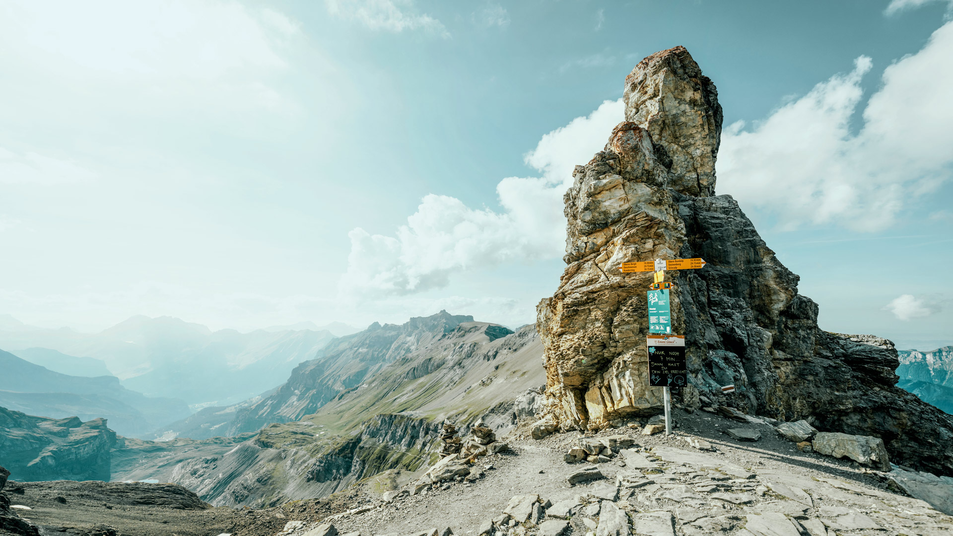
Once they reach the Hohtürli, hikers are rewarded with an unparalleled view: the Blüemlisalphorn with its imposing glacier, the Wildi Frau, and up to the Wildstrubel on one side. The view behind is also a sight to behold, with a spectacular panorama. The triumvirate of the Eiger, Mönch and Jungfrau as well as the Schilthorn, the Niesen and the deep-blue waters of Lake Thun are all in view. A signpost lets hikers know that the night camp in the Blüemlisalp hut is just seven minutes away. With tired legs and a growling stomach, Bernhard takes on the last leg, knowing full well that a well-deserved beer is already waiting for him in the hut.


Descent against the backdrop of an imposing glacier world
The next day
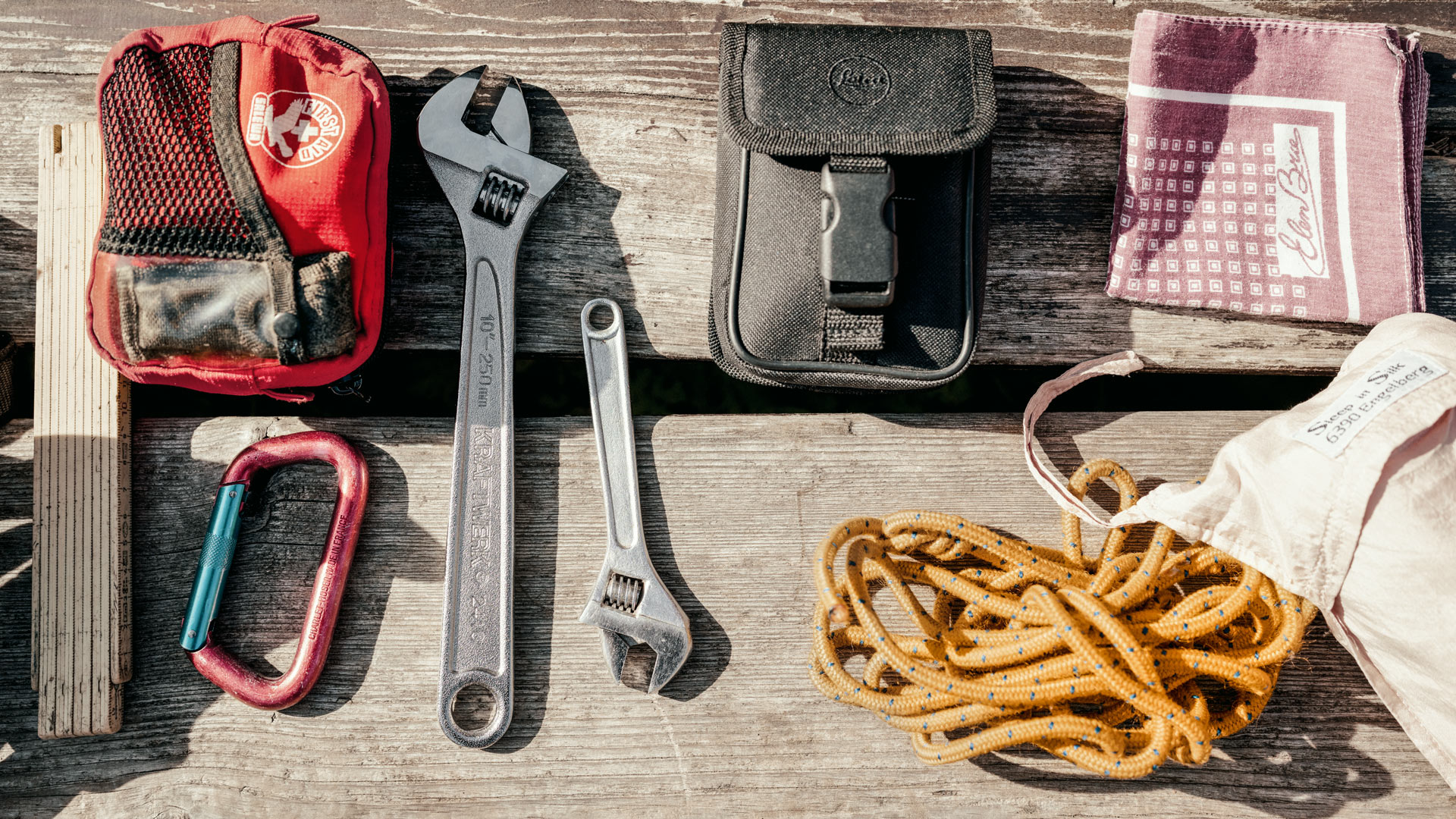
After a short but restful night in the mountain hut, Bernhard begins the descent. Luckily, he still has his pickaxe in his pack, because along the way he encounters a section of the trail that needs repairing. The gravel slope towards Kandersteg is very unstable and needs to be checked and repaired after any heavy rainfall. He works quickly with his tool, and the path is soon restored to a usable state. Before continuing his descent, Bernhard observes a bearded vulture. He guesses the bird of prey is probably very old, given its size. Half an hour later, Bernhard points out two chamois just below the hiking trail.


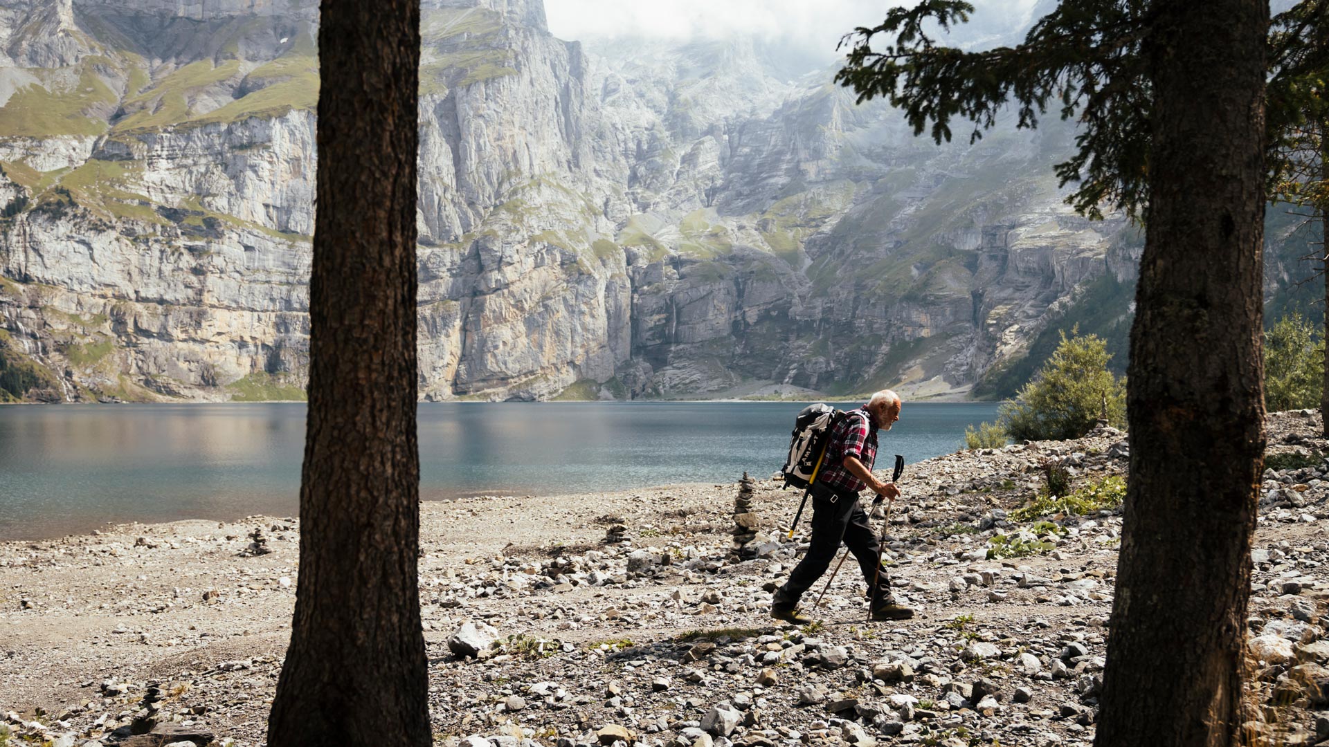
A blue jewel nestled in a rough mountain landscape
The Via Alpina in the Bernese Oberland
| 112 kilometres | A total ascent of 8,250 metres | 2,778m a.s.l. | ||
| is the distance between the starting point in Meiringen and the finishing point in Lenk. | awaits on the six daily stages. There are always opportunities to take a shortcut by mountain railway or the postal bus. | The Hohtürli is the highest point of the Via Alpina. |


